City and State: Newton, Massachusetts
Listed: 1986
Type of district: National Register historic district, state historic district, local historic district
Main Intersection: High and Winter Streets
Newton Upper Falls National Register Historic District Report
Newton Upper Falls National Register Historic District Map
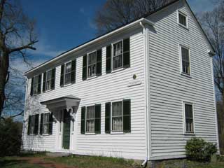
The Newton Upper Falls Historic District was historically a mill village that dates from the 19th century. It contains 182 buildings on approximately 68 acres. The mill village developed at this site because the Charles River falls 26 feet through a narrow gorge at the location, making it a perfect spot to harness water power for industrial uses. The mills set the development pattern for the town, with the oldest structures – dating from the 18th century – being closest to the original mills and dams. Different types of industries and mills, including thread and cotton mills, snuff mills, iron and nail works, and a fire alarm manufacturer, rose and fell from prominence through the early 20th century. After World War II the population became more suburban (to neighboring Boston) and professional. The district includes the historic mill buildings as well as housing and commercial structures built to support the mill workers. Greek Revival structures from the 1830s and ’40s are the most commonly found.